Geomonitoring
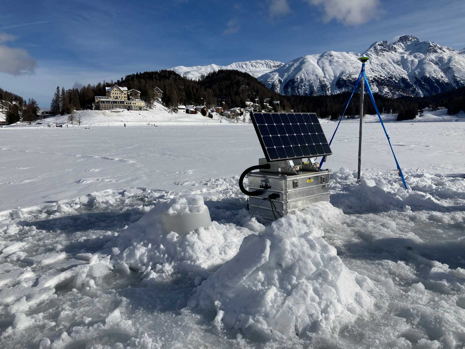
Geomonitoring embraces a very wide range of Earth's observations carried out with different methods and instrumentation. The phenomena to be monitored cover a broad band of topics, ranging from global to very local, from seconds to decades. With GNSS as our central tool, we develop processing strategies as well as instrumentation for a high-precision resolution of ground movements, at different spatial scales as well as at different time scales. We are monitoring local hazards, like permafrost instabilities and glacier movements, and contribute to the determination of regional deformation fields and the tectonic strain in Switzerland. We are investigating an optimal combination of high-rate GNSS, seismometers and rotational sensors in order to produce highest-quality ground displacement estimates, as needed for seismology, for example.
Project list:
Alpines Messlabor zur Untersuchung von Atmosphärenkorrekturen in Radar-Interferometrie-Messungen
Im Rahmen dieses Projektes haben wir ein alpines Messlabor im Gebiet des Mattertals (Breithorn, Schweiz) zur flächenhaften Quantifizierung von Massenbewegungen mittels InSAR, GNSS, terrestrichen Laserscanning (TLS) und terrestrischer Radarinterferometrie (TRI) initiiert. Die Kombination verschiedener Techniken erlaubt nicht nur die Kartierung grösserer bzw. grossräumiger Oberflächenveränderungen, sondern trägt auch zur Beurteilung und Weiterentwicklung einzelner Korrekturstrategien, insbesondere zur troposphärischen Korrektur bei.
Start date:
01.01.2021
Project partners:
ETH Zürich IGP, Federal Office for the Einvironment
Contacts at MPG:
Markus Rothacher ()
Matthias Aichinger-Rosenberger ()
Gregor Möller ()
Financiers (external):
Federal Office for the Environment, Switzerland
Links:
-
COGEAR
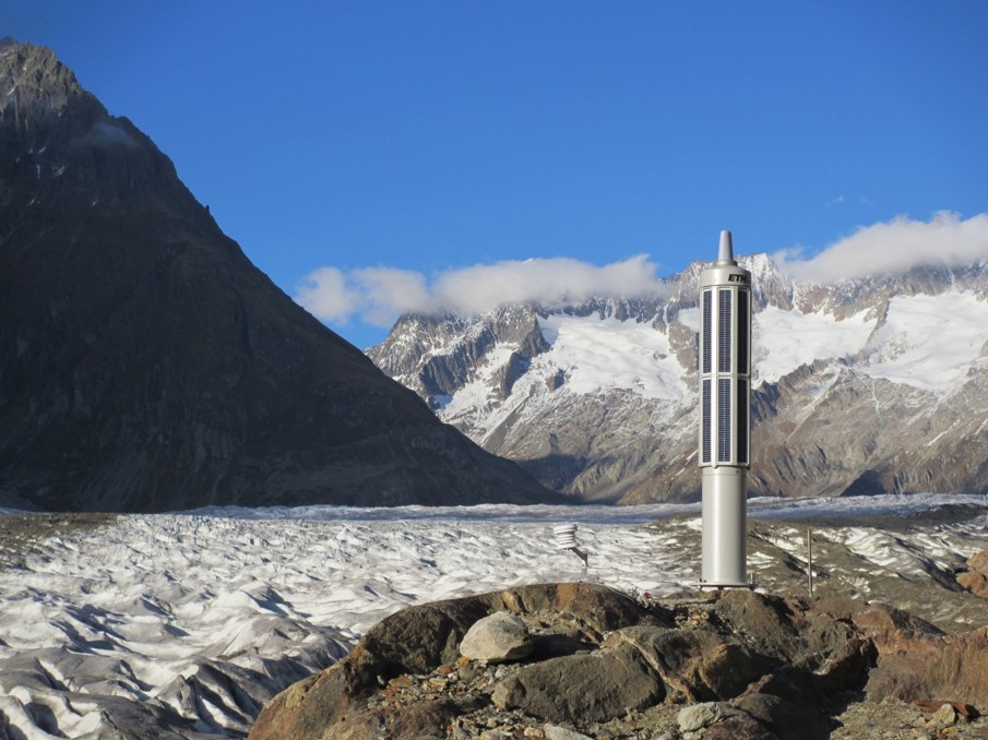
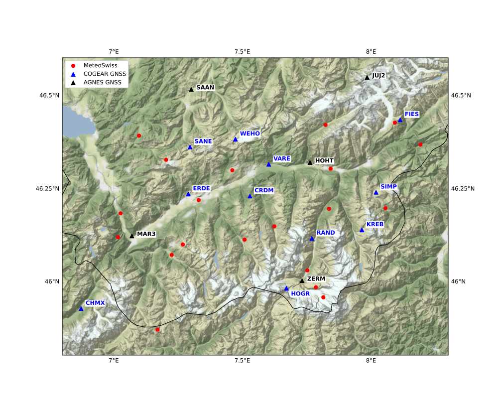
The COGEAR (Coupled Seismogenic Geohazards in Alpine Regions) GNSS network consists of 10 permanent GNSS stations installed by the MPG in the Valais region, Switzerland in 2005. The data of the COGEAR GNSS network is operationally processed at MPG on a daily basis with Bernese GNSS software, together with a subset of 11 AGNES stations. The COGEAR data is shared with swisstopo, where the data is integrated in the official processing of the AGNES network.
Start date:
01.01.2005
Project partners:
ETH Zürich, swisstopo, permanense, BAFU
Contacts at MPG:
Alain Geiger ()
Philippe Limpach ()
Markus Rothacher ()
Links: Cogear
Next generation monitoring station: sensor combination for strong ground motions.
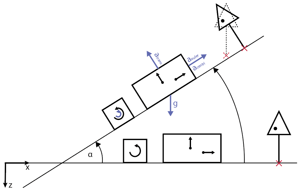
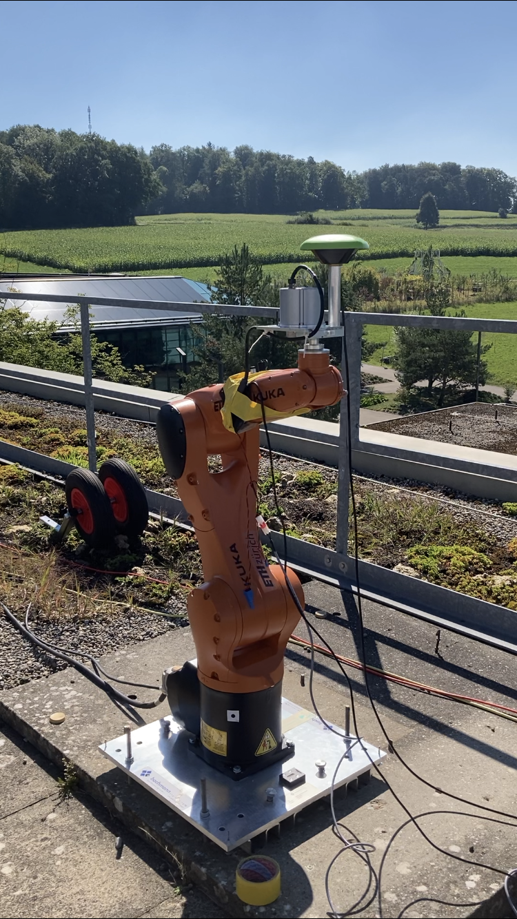
The scope of this project is to develop the next generation monitoring station of strong ground motions occuring during earthquakes as well as vibrations in structures. The ground motion of an earthquake or the ambient motion of a large engineered structure not only has translational motion, but it also includes rotation around all three axes. No current sensor can record all six components, while the fusion of individual instruments that could provide such recordings, such as accelerometers or Global Navigation Satellite System (GNSS) receivers, and rotational sensors, is non-trivial. We are developing a methodology to combine these datasets relying on the use of an industrial six-axis robot arm, on which the instruments are mounted, performing different types of motion. The final stage of the project includes the monitoring of large buildings, bridges or dams in Switzerland.
Start date:
01.10.2019
Project partners:
ETH Zürich IGP, SED, IBK, IG
Contacts at MPG:
Yara Rossi ()
Markus Rothacher ()
Financiers (external)
SNF swiss national science foundation
Links:
external page http://p3.snf.ch/project-188599
